
Kaizengallery - Silk Road
 |
The Silk Road - maps, sites and art
Maps (11) - Bingling (12) - Dun Huang (46) - Kuqa, or Kutcha (8) - Turfan, or Turpan (8) -
See also "études et monographies"
|
Mongolian expansion |
Scythian expansion |
Silk roads in China |
|
Road towards Dun Huang |
Fa' Hsien road |
Marco polo road |
|
Zheng He see route |
Photo NASA, Taklamakan |
Photo NASA, Kazakhstan |
|
Road towards Turfan |
Xuan Zang road |
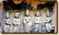
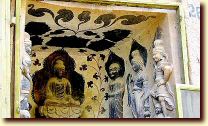
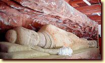
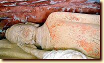
Bingling Buddhist temple- return top
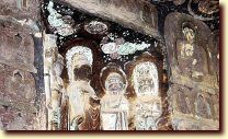
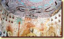
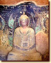
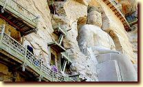
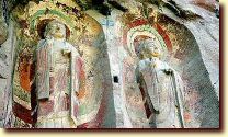
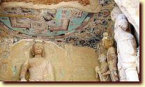
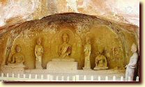
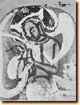
Foundation 420AC, end of Western JIN dynasty, 183 caves remaining, along the Yellow river. Bingling : Tibetan word for "10,000 Buddhas"
 |
 |
|
 |
 |
 |
 |
 |
 |
 |
 |
 |
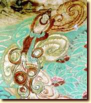
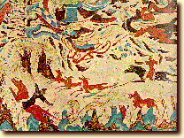
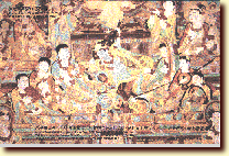
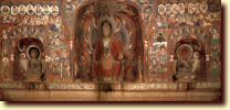
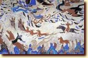
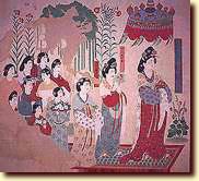
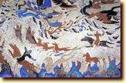
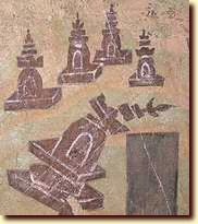
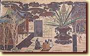
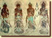
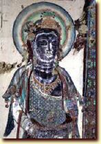
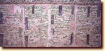
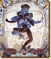
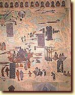
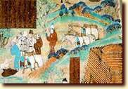
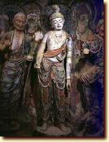
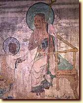
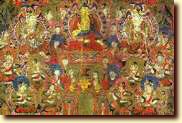
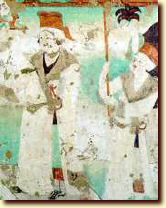
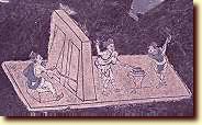
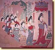
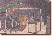
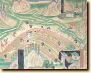
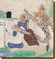
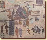
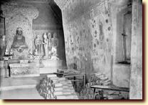
Foundation 117bc, by emperor Han Wu Ti. South East of Taklamakan. Site: grottoes of Mogao. Last garrison of China on the west end road. Junction of the two main roads to the west, (north and south of Taklamakan). Population: Chinese, Mongol, Uyghur, Tibetans, Hsia
 |
 |
 |
 |
 |
 |
 |
 |
 |
 |
 |
 |
 |
 |
 |
 |
 |
 |
 |
 |
 |
 |
 |
 |
 |
 |
 |
 |
 |
 |
 |
 |
 |
 |
 |
 |
 |
 |
 |
 |
 |
 |
 |
 |
 |
 |
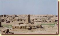
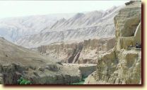
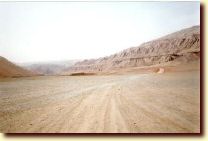
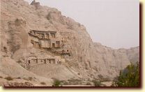
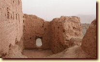
One of the most important oasis in the Tarim basin, along the northern road of the Taklamakan desert. Foundation 1st AC; most activity 3rd AC. Buddhist center with not less than 1000 stupas. Area of Kyzil site. Influences from India, Bactrian, Sogdian. Language: Indo-european structure, Uyghur
 |
 |
 |
 |
 |
 |
 |
 |
Turfan, or Turpan - return top
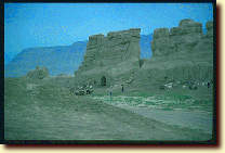
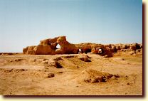
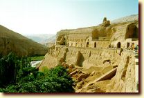
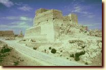
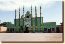
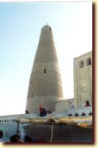
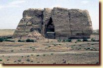
Foundation +/- 1st AC, Xinjiang district, 150 km of Urumqi, along the north silk road. People: Sogdian, Bactrian, Ouigur...Sites : Gaochang, Bezeklik. For Turfan Islamic period: click here
 |
 |
 |
 |
 |
 |
 |
 |
return top
Copyright ©2006-2014 KaizenGallery & Associates. Terms of use / Conditions d'utilisation. N°3925 / 2014